Configure shapes definition
Use the following procedure to configure the shape layer for the map component.
-
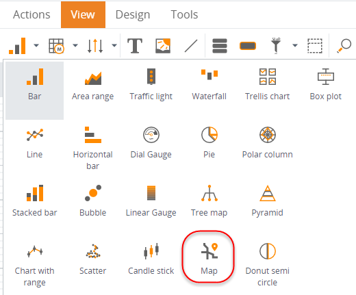
On the existing View, in the components toolbar, click and drag
the
Map component onto the
View area.
If you do not have a View, you may create one by navigating to , right-clicking and then selecting New View. -
In the
Data wizard for the map component, locate
and select the metric.
- Navigate to .
-
Select
CountryCode for
Countries,
StateID for States,
CountyID for Counties and
Code for ZIP codes.
Note If the metric does not have a dimension corresponding to the country code or state code, but has a dimension corresponding to the country name/state name, it is possible to map the data by their name using the By name check box. By default, the check box is clear and it is assumed that the dimension contains the code.
-
Select
Label type and select
either a code, a name, or a value.
The layer is labeled on the map according to this setting. For example, if you select Value, the map shows metric values on this layer, not the names.